Description
Ready for purchase RIEGL VZ-600i, gently used, fully serviced and calibrated by RIEGL. Sold with 1 Year RIEGL warranty & We offer 14 day unconditional money back guarantee.
Used RIEGL VZ-600i for sale in excellent condition ready to survey and works flawlessly with RIEGL working standards. Year 2023, well taken care and everything still in excellent condition. Used on a single larger project that was wrapped up and no longer use it much
The RIEGL VZ-600i is the latest generation of professional Terrestrial Laser Scanners stands for extreme versatility, high productivity, ultimate performance, and additional mobility providing an excellent return on investment.
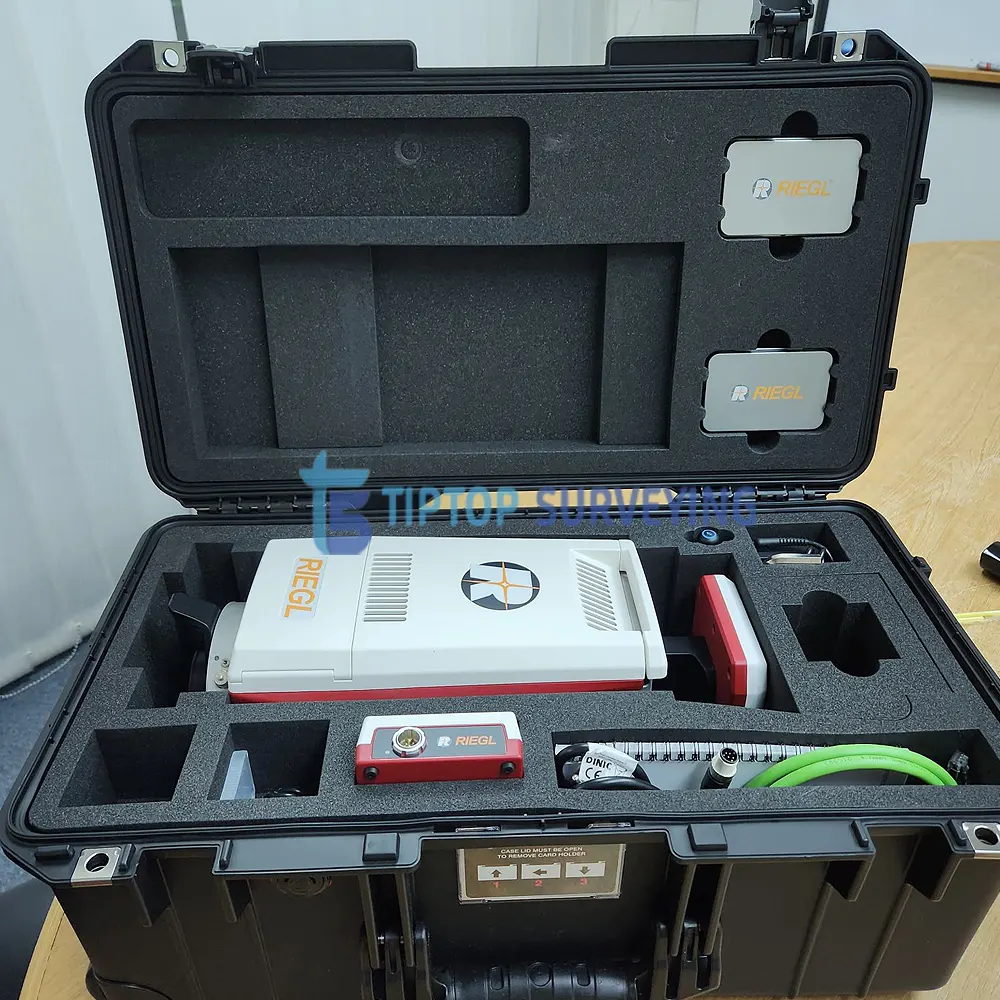
Package Includes:
- RIEGL VZ-600i Terrestrial Laser Scanner
- RiScan Pro Software License to a USB dongle
- Black External Battery, External Battery Charger, Battery Power Supply Cable
- 12v Power Supply Cable 1m
- 8x Scanner Targets – Cylinder
- Riegl VZ-600i Scanner cables
- Blanking Cap, Cap to 3/8 thread, Cap to Thread Mount
- GPS Cap
- Allen Key
- Long Antenna
- Debug Cable, External GPS Cable,TCP/IP Cable M12-M12 3m, 2 x TCP/IP Cable M12-MRJ45 0.3m
- External Power Supply/Battery Charger
- 10x Fuses
- Flight case
- Yellow pelican case to hold all of the accessories
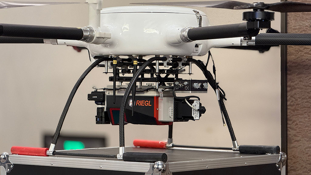
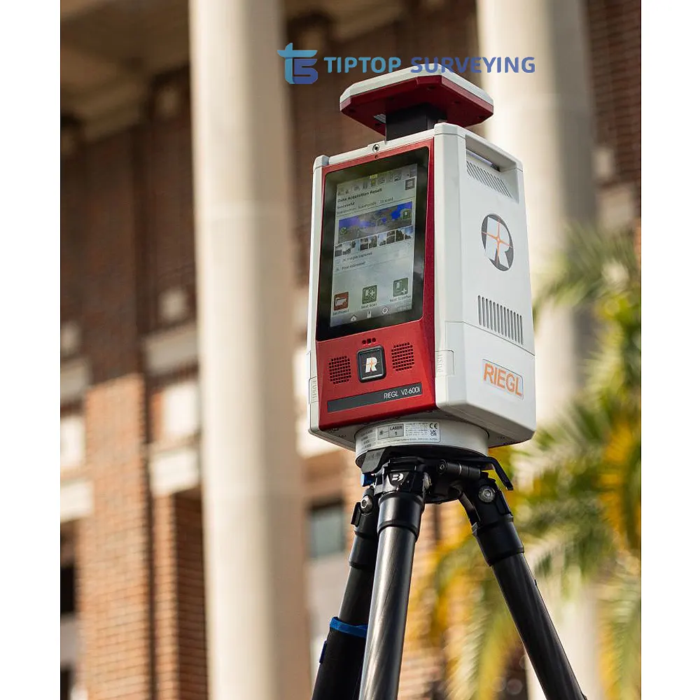
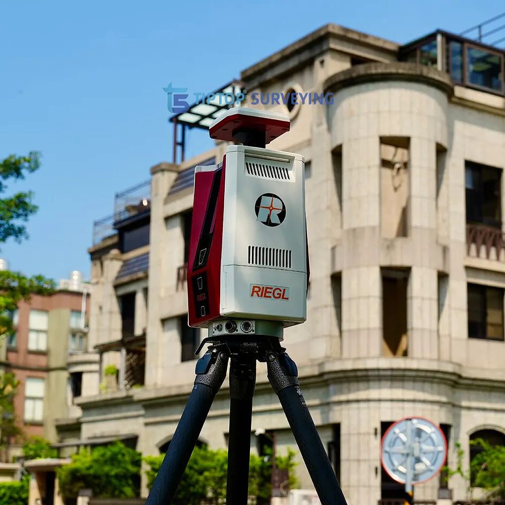
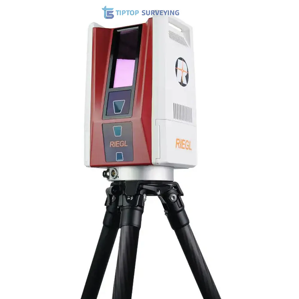
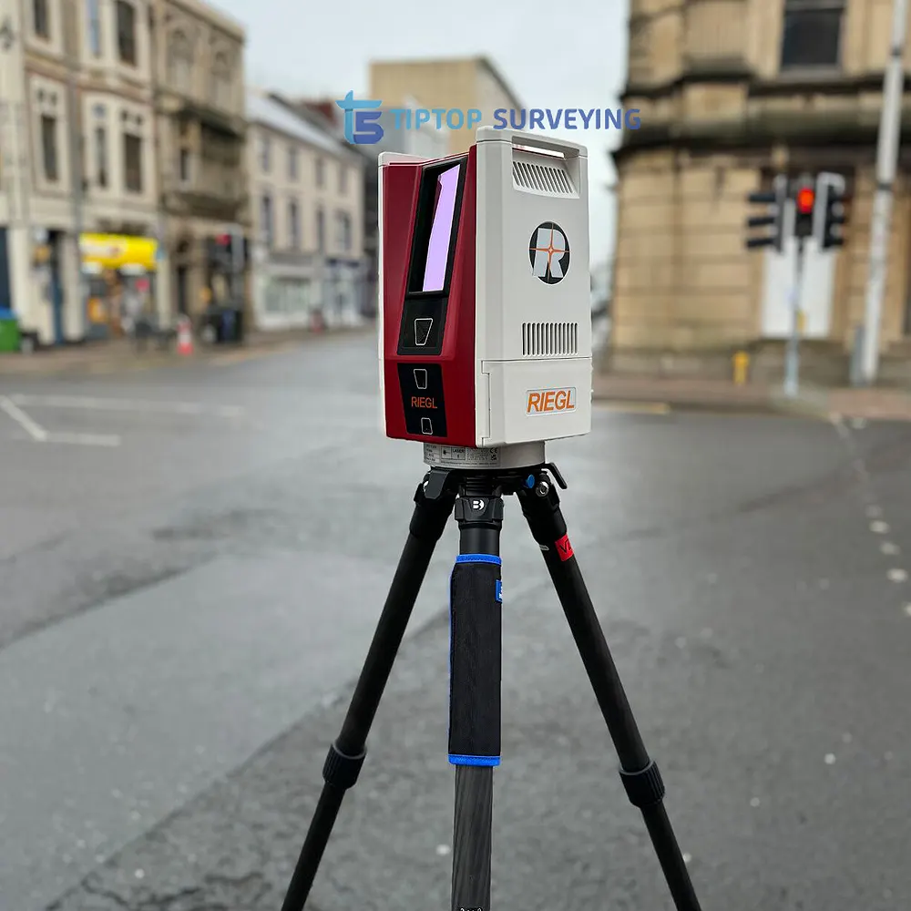
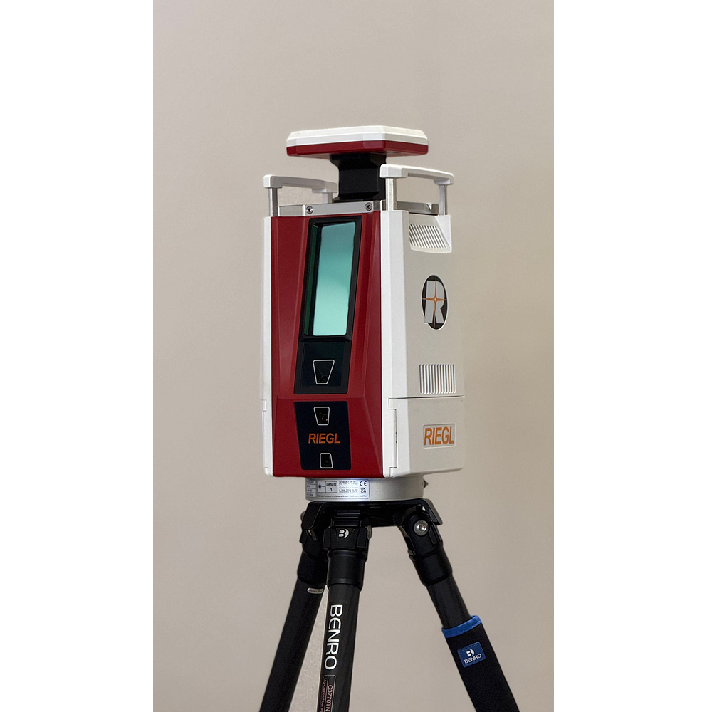
RIEGL VZ-600i Terrestrial Laser Scanner
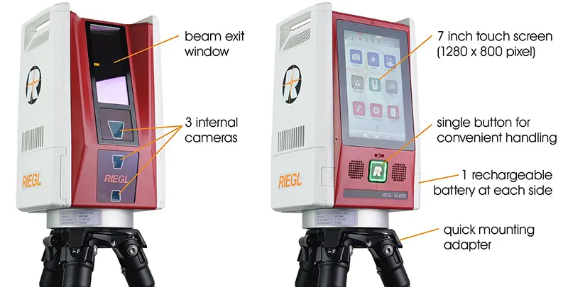
The RIEGL VZ-600i offers a broad range capability from 0.5 m up to 1000 m and is suitable for indoor and outdoor 3D mapping applications. 3D position accuracy of 3 mm, less than 30 sec scan time for high-resolution scans with 6 mm point spacing at 10 m, enabling more than 60 scan positions/hour with real-time registration, weight less than 6 kg, 2.2 MHZ PRR, three internal cameras & GNSS integrated, and also prepared for mobile mapping applications – these key features will speed up your workflow in indoor and outdoor applications like AEC (Architecture, Engineering, Construction), BIM (Building Information Modeling), as-built surveying, forensic and crash scene investigation, archeology & cultural heritage documentation, forestry, and many more.
RIEGL VZ-600i Terrestrial Laser Scanner main features:
- Broad range capability (0.5 m up to 1000 m)
- 5 sec scan time for low resolution overview scans
- 30 sec scan time for 6 mm resolution @ 10 m distance
- 60 scan positions per hour (with image acquisition)
- 3D position accuracy up to 3 mm @ 50 m
- High laser pulse repetition rate of up to 2.2 MHz
- Scan speed up to 420 lines/sec
- Eye safe operation at Laser Class 1
- Precise real-time onboard registration
- Internal cameras (offering optional on-board face detection and automatic facial blurring in real-time before image storage)
- Internal GNSS receiver / external RIEGL GNSS RTK receiver (optional)
- Optional external system camera or panorama camera
- Weight 6 kg / 13 lbs
- Prepared for mobile use
Main Applications:
- As-Built Surveying
- Architecture & Facade Measurements
- Civil Engineering
- Building Information Modeling (BIM)
- City Modeling
- Forensics & Crash Scene Investigation
- Emergency Management Planning
- Archeology and Cultural Heritage Documentation
- Tunnel Surveying
- Forestry
- Research
Download: