13,400.00USD
● InStock
Featured Equipment
View All Products →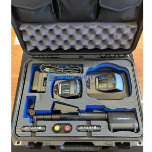
11,800.00USD
● InStock
3,800.00USD
● InStock
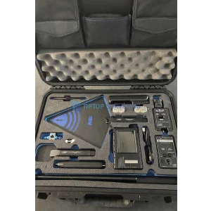
9,000.00USD
● InStock
3,500.00USD
● InStock
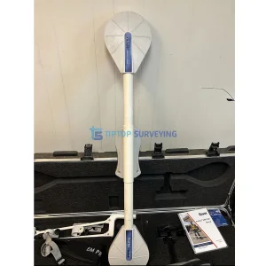
6,000.00USD
● InStock
36,950.00USD
● InStock
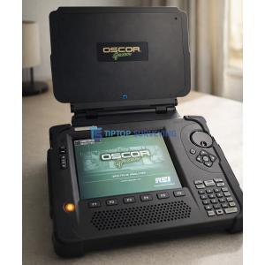
9,500.00USD
● InStock