10,000.00USD
● InStock
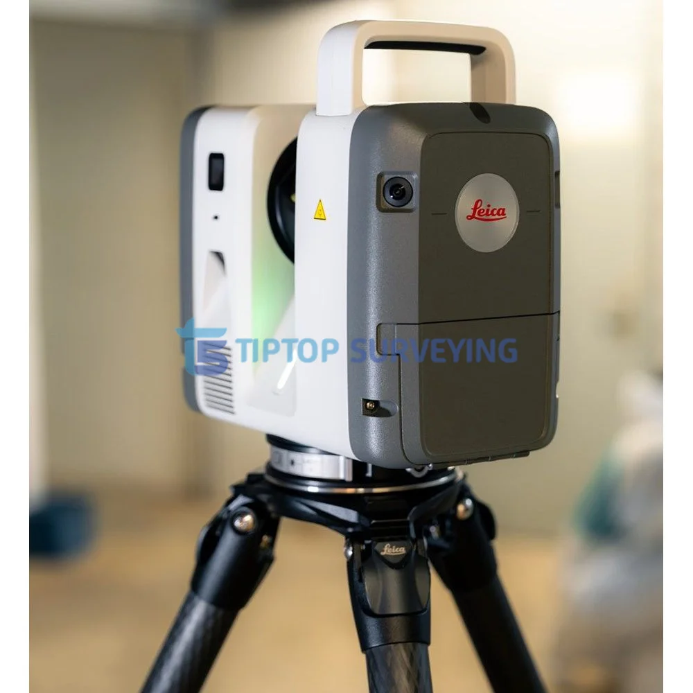
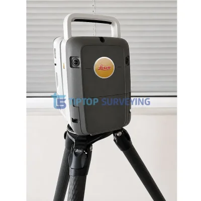
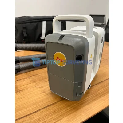
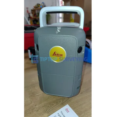
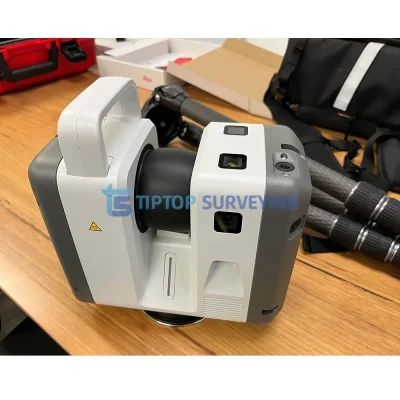
The Leica RTC700 Laser Scanner is a professional 3D laser scanning solution designed for fast and accurate reality capture, surveying, mapping, as-built documentation, construction, and point cloud applications. This demo used unit offers an excellent opportunity to acquire professional Leica scanning technology at a more attractive price than a new system.
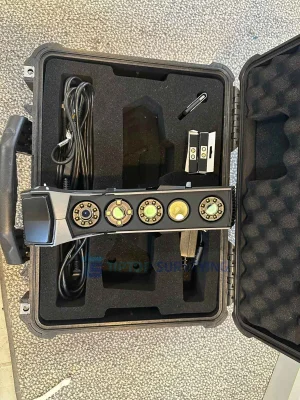
The scanner is offered as a complete set with software, providing a ready-to-use solution for capturing detailed 3D data and processing point clouds for a wide range of surveying and measurement applications.
- Leica RTC700 Laser Scanner Unit
- Leica GVP780 Transport Container for RTC
- (4x) Leica GEB461 Internal Li-Ion Batteries (10.8V / 6.7Ah)
- Leica GST80 Lightweight Tripod for RTC360
- Leica GKL341 Charger Prof 5000
- Leica RTC Rain Cover
- Leica RTC300/500/700 Quick Guide
- Hexagon GeoCloud 500GB
- One Year RTC Laser Scanner Basic CCP
- Two Year RTC Warranty
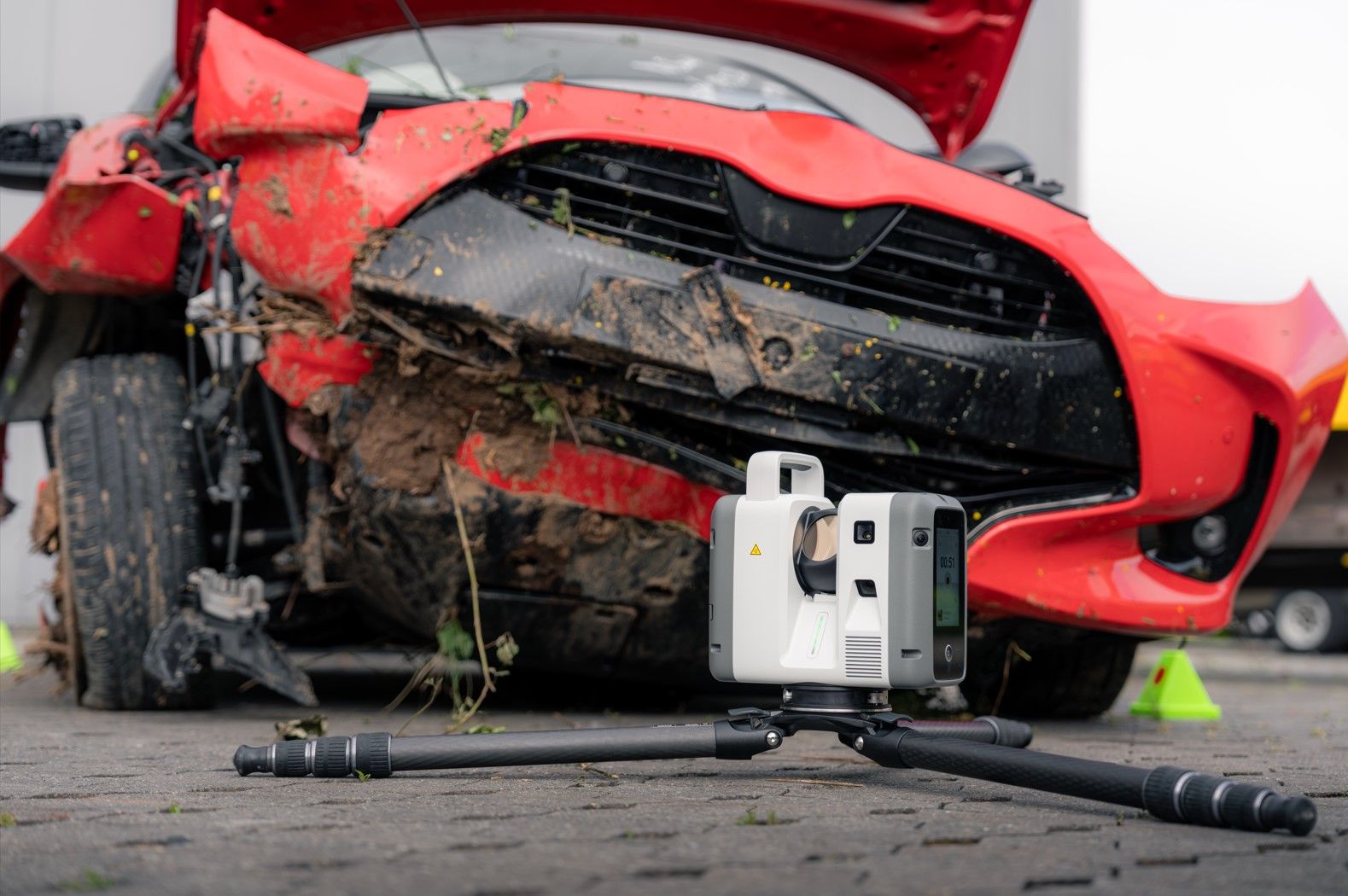
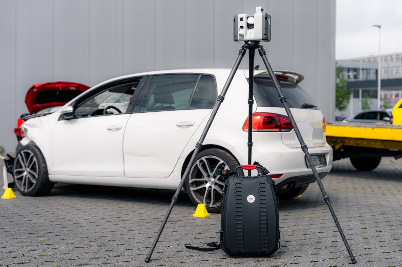
Leica RTC700 Laser Scanner — Technical Specifications |
|
|---|---|
| Laser / Range: | |
| Laser Wavelength | 1550 nm (invisible) |
| Beam Divergence | 0.5 mrad (1/e², full angle) |
| Beam Diameter at Front Window | 6 mm (1/e²) |
| Field of View | 360° (horizontal) / 300° (vertical) |
| Maximum Range | Up to 270 m (3.5% albedo at 85 m, 8% at 130 m, 32% at 270 m) |
| Measurement Speed | Up to 2,000,000 points/second |
| Accuracy: | |
| Angular Accuracy | 10″ (arc seconds) |
| Range Accuracy | 1.2 mm + 10 ppm |
| Range Noise | 0.2 mm at 10 m |
| Point Cloud Resolution | 1.6 mm at 10 m (standard); 0.8 mm at 10 m (Area Scan mode); steps also available at 3, 6, 12, 25 mm |
| Positioning / Sensors: | |
| Visual Inertial System (VIS) | Video-enhanced inertial measuring system for real-time position and movement tracking |
| Tilt Compensation | IMU-based with automatic self-calibration |
| Tilt Accuracy | 3″ (upright/inverted, ±10° inclination); 1′ (any other inclination) |
| Additional Sensors | GNSS, shock sensor |
| Imaging: | |
| Camera System | 72 MP, 6-camera array; 432 MPx raw HDR data |
| Spherical Image Output | 360° × 300° calibrated HDR spherical image at 174 MPx resolution |
| Imaging Speed | Full spherical tone-mapped HDR image in as little as 30 seconds (any lighting); full dome scan + HDR image in ~1 min 40 sec at 6 mm resolution |
| HDR Acquisition | 5-bracket tone-mapped HDR spherical imagery with auto exposure and auto white balance |
| Interface / Connectivity: | |
| On-Scanner Display | 4.3″ capacitive touchscreen, 480 × 800 color |
| Mobile App | Leica Cyclone FIELD 360 (iOS / Android) — remote control, tagging, survey workflows |
| Wireless | WLAN 802.11 a/b/g/n/ac/ax — 2.4 GHz and 5 GHz bands |
| Data Storage | 512 GB internal SSD |
| Data Transfer | USB-C (USB 3.2 Gen2) to external storage |
| Cloud / Software | Hexagon GeoCloud (Livelink), Cyclone FIELD 360, Cyclone REGISTER 360 PLUS |
| Export Formats | LGSx, E57, RCP, LAS, PTS |
| Physical / Environmental: | |
| Housing | Aluminium frame and side covers with ergonomic top handle |
| Dimensions | 121 × 240 × 254 mm (4.76″ × 9.45″ × 10.0″) |
| Weight | 5.5 kg / 11.7 lbs (nominal, without batteries) |
| Mounting | Quick mount on 5/8″ stub, Leica GST80 tripod (adapter available for topographic tripods) |
| Ingress Protection | IP55 (upright or inverted) |
| Operating Temperature | −20 °C to +50 °C |
| Battery | Leica GEB461 Li-Ion (10.8V / 6.7Ah), swappable, up to 4 hours runtime |
Similar equipment from the same category.