9,800.00USD
● InStock
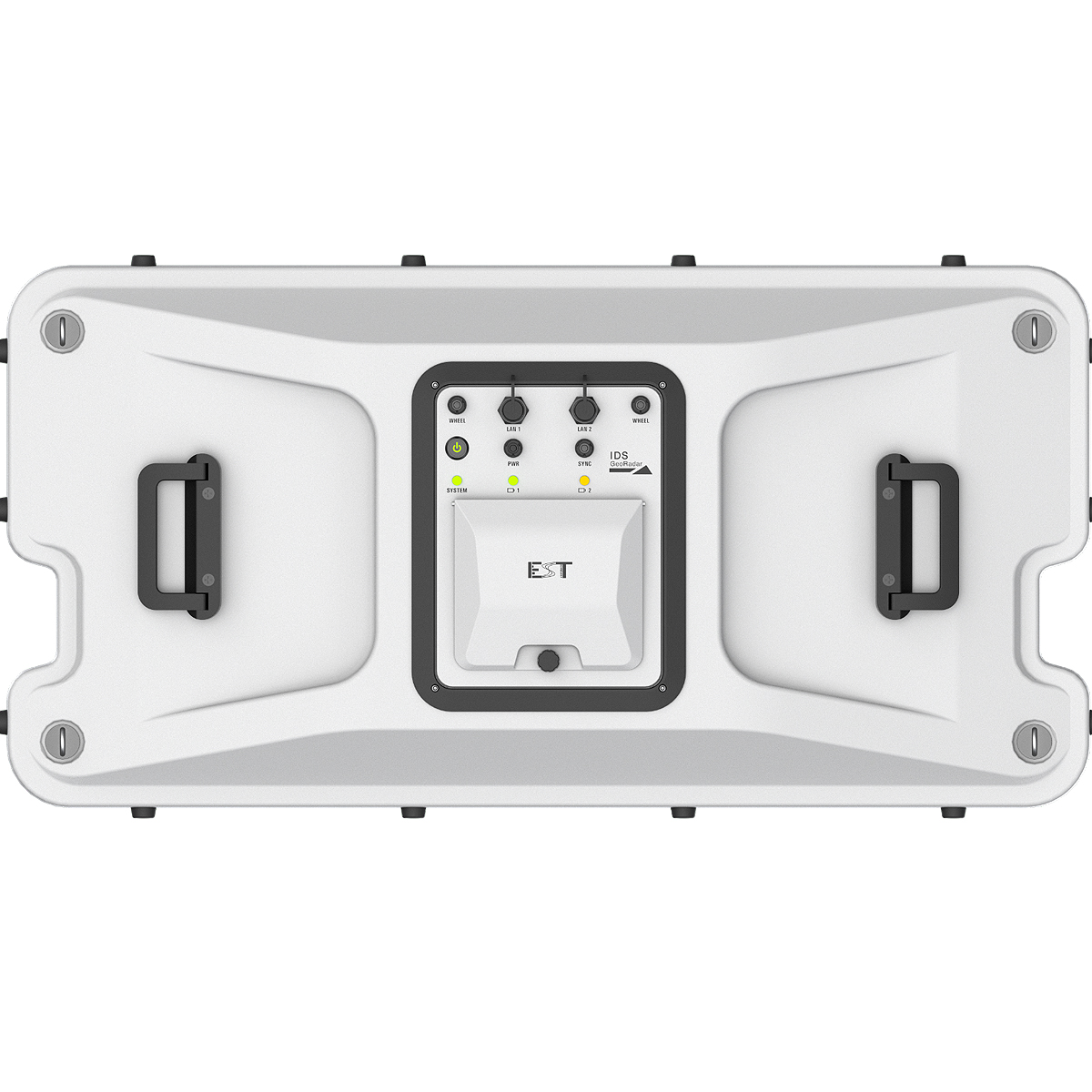
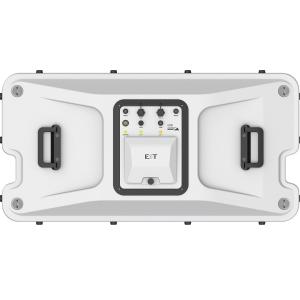
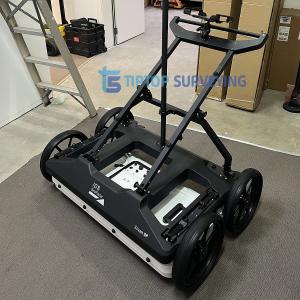
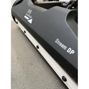
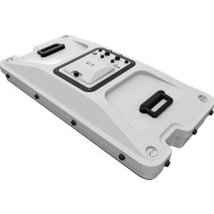
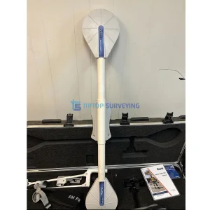
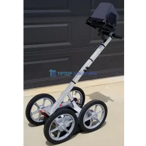
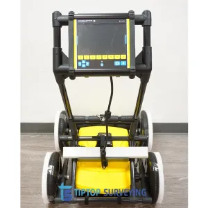
The IDS Stream DP GPR System is a high-performance multichannel ground penetrating radar designed for large-scale, high-resolution 3D subsurface mapping. Engineered for speed, accuracy, and depth, Stream DP is the ideal solution for utility detection, infrastructure mapping, transportation projects, and urban surveys where productivity and data quality are critical.
This unit is a demo-used system in excellent condition, professionally maintained and fully tested to ensure reliable operation. It delivers the same advanced performance as a new system at a significantly reduced cost, making it an outstanding value for contractors, engineering firms, and survey professionals.
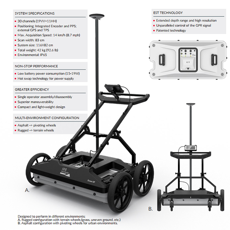
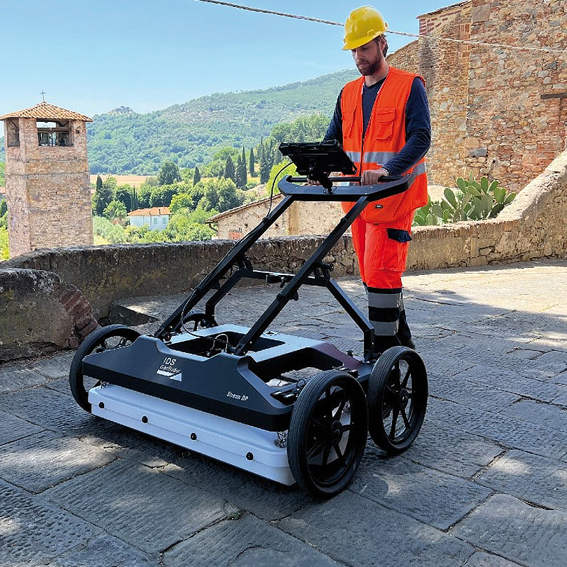
The Stream DP system dramatically reduces survey time compared to single-channel GPR while producing dense, georeferenced datasets suitable for CAD, GIS, and BIM integration.
| Specification | Description |
|---|---|
| System Type | Multichannel Ground Penetrating Radar |
| Antenna Configuration | Stream DP antenna array |
| Survey Mode | 3D data acquisition |
| Typical Applications | Utility mapping, infrastructure surveys |
| Penetration Depth | Dependent on soil conditions |
| Data Output | High-resolution 3D datasets |
| Survey Speed | High-speed acquisition for large areas |
| Positioning Support | GNSS integration supported |
| Operating Environment | Outdoor / Urban field conditions |
| Parameter | Specification |
|---|---|
| Platform | Cart-based / vehicle-towed compatible |
| Construction | Rugged, industrial-grade mate |
Similar equipment from the same category.