9,000.00USD
● InStock
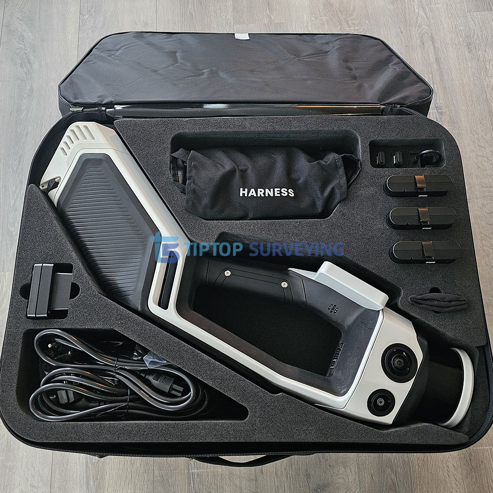
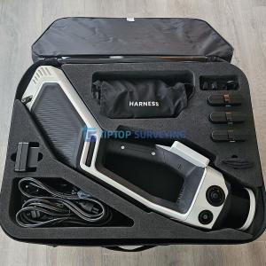
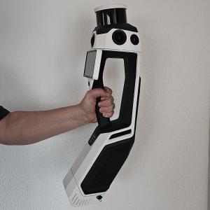
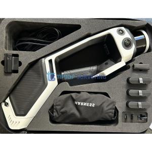
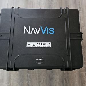
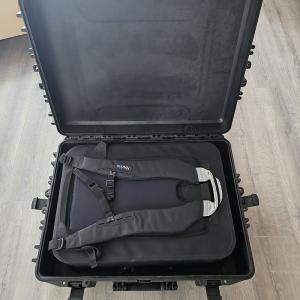
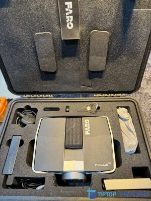
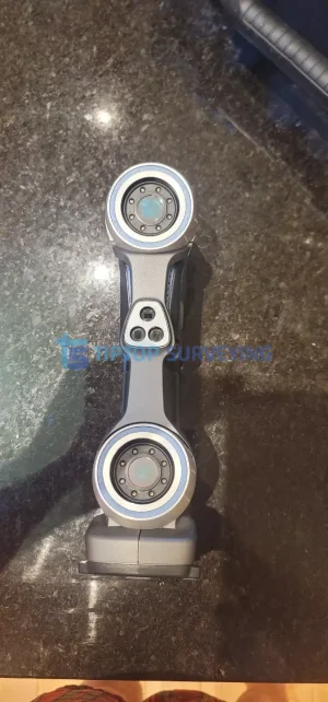
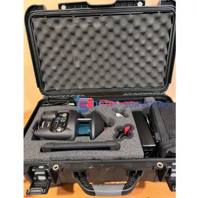
We are selling a used NavVis MLX Handheld Laser Scanner in excellent working condition, supplied as a complete kit and ready for immediate use. This advanced handheld SLAM-based laser scanning system is designed for fast and accurate indoor 3D mapping, making it an ideal solution for BIM, facility management, construction, surveying, and digital twin creation.
The NavVis MLX combines high-performance LiDAR sensors with intelligent SLAM technology, enabling users to capture precise 3D data while walking through complex environments. Its lightweight, ergonomic design allows for rapid data collection with minimal setup time, significantly increasing productivity compared to traditional static scanners.
What’s Included:
Key Benefits:
Applications:
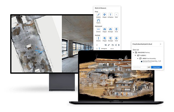
NavVis MLX Software:
NavVis MLX is optimized to seamlessly work hand-in-hand with NavVis VLX in the field and NavVis IVION in the office. Access reliable as-is and as-built data at a low cost and with minimal effort. This combination offers an end-to-end reality capture solution suitable for various applications and is tailored to empower your stakeholders throughout the workflow.
| Category | Specification |
|---|---|
| Scanner Type | Handheld SLAM dynamic laser scanner with LiDAR and visual odometry (VO) (NavVis) |
| LiDAR Sensor | 32-layer, Class 1, 905 nm laser, approximately 640,000 points per second (NavVis) |
| Operational Range | Up to 50 m (NavVis) |
| Point Cloud Accuracy | Approximately 5 mm in dedicated test environments (500 m²) (NavVis) |
| Panoramic Cameras | Four 12 MP cameras for HDR imagery (NavVis) |
| Visual Odometry Cameras | Two 2 MP cameras for SLAM support (NavVis) |
| Live Feedback Display | Built-in capacitive multi-touch display (5.5″, 1920 × 1080) (NavVis) |
| Storage | External 256 GB USB-C flash drive (NavVis) |
| Battery | 98 Wh lithium-ion battery (carry-on compliant), approximately 45 minutes runtime (NavVis) |
| Interfaces | Wi-Fi and USB-C (NavVis) |
| IMU | Industrial-grade inertial measurement unit for stable SLAM trajectories (NavVis) |
| Data Output Formats | E57, PLY, LAS, PTS, XYZ (point clouds); RAW (DNG) and JPEG (images) (NavVis) |
| Geo-registration Support | Compatible with control points from total stations and GNSS rovers (NavVis) |
| Form Factor | Handheld system with ergonomic harness (NavVis) |
| Weight (including battery) | Approximately 3.6 kg (NavVis) |
| IP Rating | IP42, suitable for indoor and limited outdoor use (NavVis) |
| Operating Temperature | −10 °C to 40 °C (NavVis) |
| Integration Support | Compatible with NavVis IVION cloud and VLX workflows (NavVis) |
Similar equipment from the same category.