

RIEGL VZ-600i Terrestrial Laser Scanner
- Brand: RIEGL
- Category: Terrestrial / Ground Laser Scanners
- Condition: UsedCondition
- Warranty: 6 Months
Request Quote
RIEGL VZ-600i Terrestrial Laser Scanner
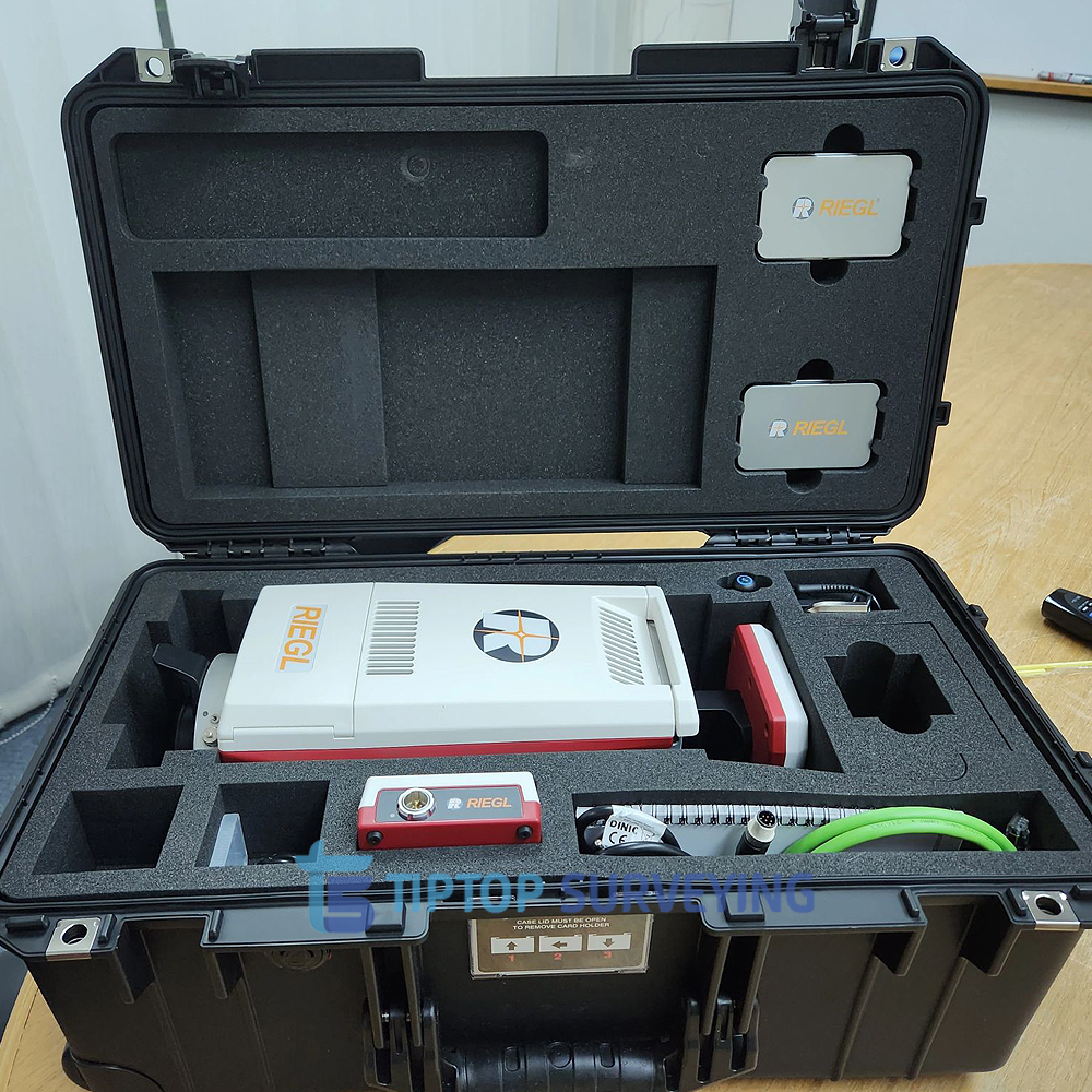
Demo Used Condition – Complete Set with RiSCAN PRO Software
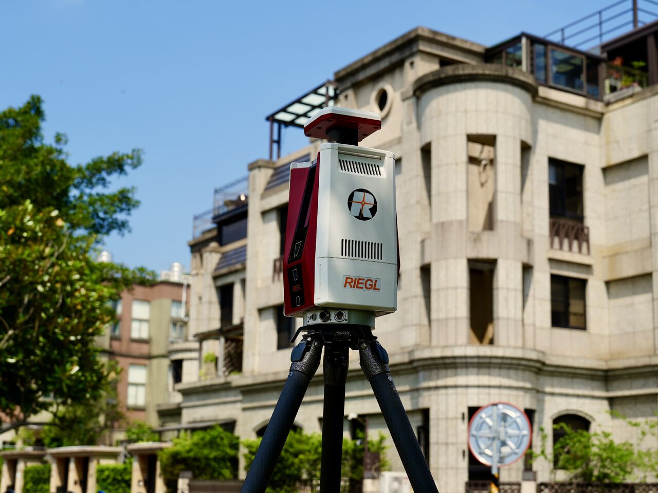
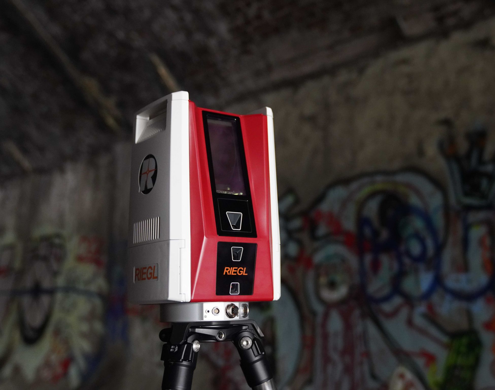
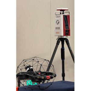
The RIEGL VZ-600i Terrestrial Laser Scanner is a high-performance, long-range, survey-grade LiDAR system designed for precise 3D data acquisition in demanding surveying, monitoring, and mapping applications. We offered in demo used condition and supplied as a mint condition like new and complete operational set, including RiSCAN PRO, RIEGL’s main data acquisition and processing software.
Built on RIEGL’s advanced pulse time-of-flight LiDAR technology with full waveform processing and multi-target capability, the VZ-600i delivers exceptional accuracy, reliability, and performance in both static and kinematic terrestrial scanning workflows.
What's includes:
- RIEGL VZ-600i Terrestrial Laser Scanner
- RiSCAN PRO Data Acquisition & Processing Software
- Scanner Batteries
- Battery Charger(s)
- Carrying / Transport Case
- Required Cables and Standard Accessories
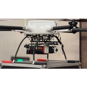
RIEGL VZ-600i Terrestrial Laser Scanner Typical Applications
Topographic and engineering surveying
Infrastructure and corridor mapping
Mining and quarry surveying
Geotechnical and deformation monitoring
Industrial plant documentation
As-built surveys and 3D modeling
Research and environmental mapping
Software Included:
RiSCAN PRO – Main Data Acquisition & Processing Software
RiSCAN PRO is RIEGL’s core software platform for terrestrial laser scanning operations. It provides complete control of scanner configuration, data capture, processing, quality assurance, and export.
Key software capabilities include:
Scanner control and project management
Real-time data acquisition and monitoring
Full waveform data processing
Automatic filtering and classification tools
Colorization using integrated camera imagery
Registration and georeferencing workflows
Export to standard formats (LAS, LAZ, E57, ASCII, etc.)
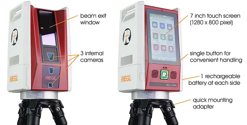
RIEGL VZ-600i – Scanner Technical Data
| Specification | Details |
|---|---|
| Scanner Type | Terrestrial laser scanner |
| LiDAR Technology | Pulsed time-of-flight, waveform processing |
| Laser Class | Class 1 (eye-safe) |
| Max Measurement Range | Up to approx. 600 m |
| Field of View | 360° horizontal × 100° vertical |
| Measurement Rate | Up to 222,000 measurements/second |
| Distance Accuracy | ±5 mm |
| Angular Accuracy | 0.002° |
| Multi-Target Capability | Yes |
| Integrated Camera | High-resolution calibrated camera |
| Scan Modes | Static and kinematic |
| Operating Temperature | −20°C to +50°C |
| Protection Rating | IP64 |
| Weight | Approx. 9.6 kg |
RiSCAN PRO – Software Technical Overview
| Feature | Description |
|---|---|
| Acquisition Control | Full scanner configuration and operation |
| Data Processing | Waveform analysis, filtering, classification |
| Registration | Target-based and cloud-based alignment |
| Visualization | 3D point cloud display and inspection |
| Export Formats | LAS, LAZ, E57, ASCII, DXF |
| Workflow Integration | Compatible with major CAD/GIS platforms |