5,380.00USD
● InStock

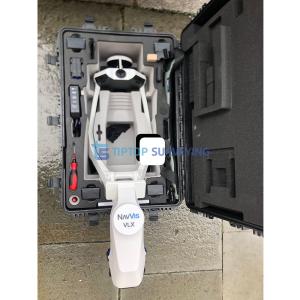
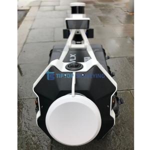
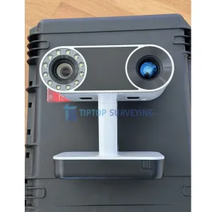
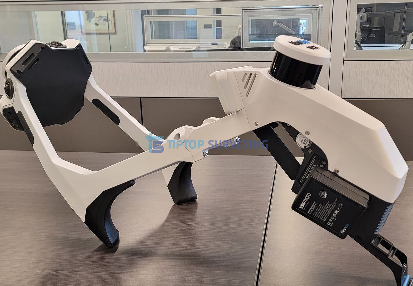
This pre-owned NavVis VLX 3 Mobile Mapping System is offered in fully functional condition and is ready for immediate deployment. The VLX 3 is a state-of-the-art wearable mobile mapping platform designed to capture highly accurate point cloud data and imagery while walking through indoor and complex environments.
NavVis VLX 3 combines advanced LiDAR sensors, high-resolution cameras, and SLAM-based positioning technology to deliver survey-grade spatial data with exceptional speed and efficiency. It is widely used across industries including surveying, construction, digital twin creation, facility management, infrastructure documentation, and reality capture workflows.
This unit has been tested for full functionality and is ideal for organizations looking to acquire professional mobile mapping capability at a reduced cost compared to purchasing new equipment.
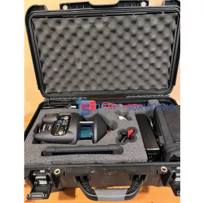
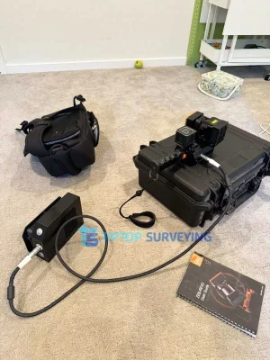
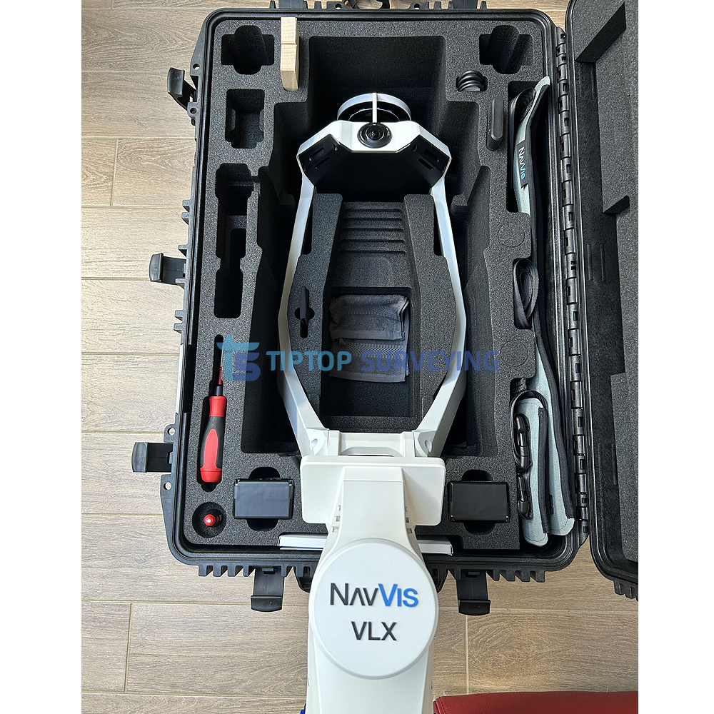
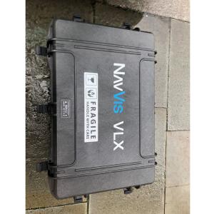
What's Includes:
Project complexity:
Ideal for: urban planning and development project including topographic and detail survey
Technical Specifications Overview:
Similar equipment from the same category.